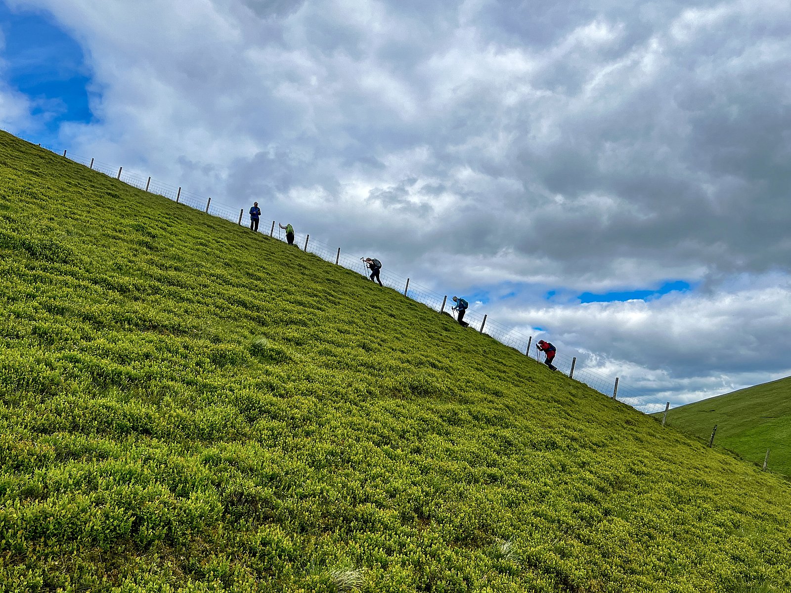
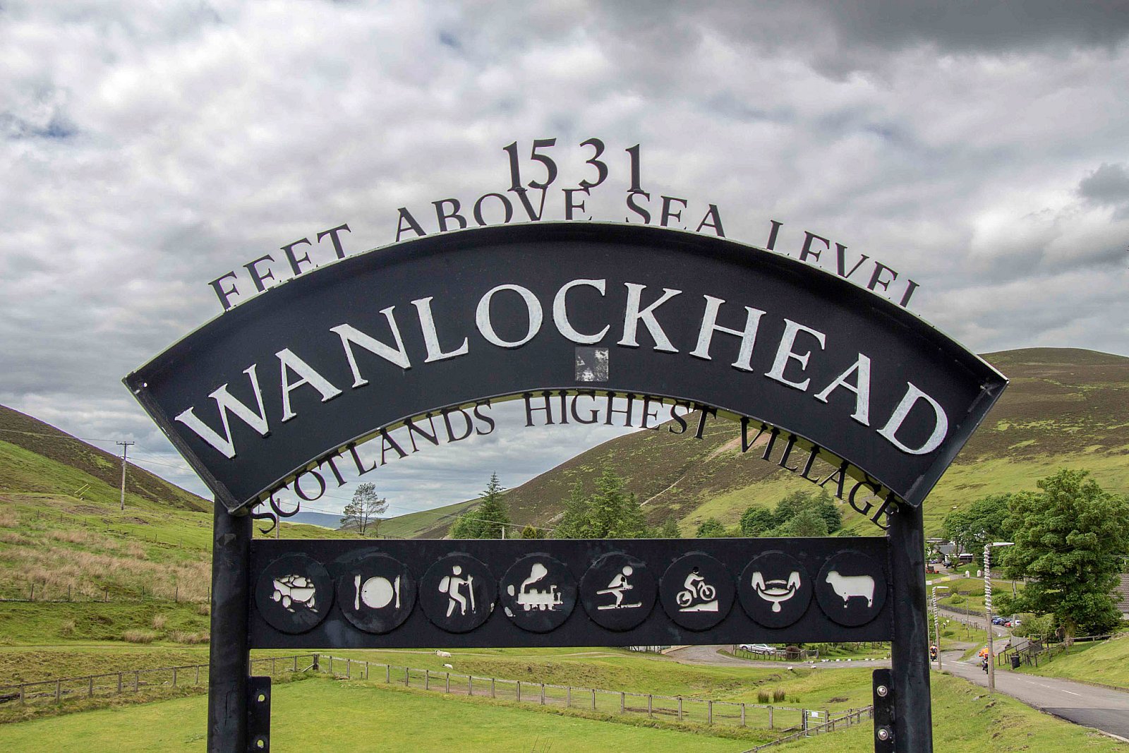
Wanlockhead is Scotland’s highest village at 467m above sea level. A group of thirteen set off from the Lead Mining Museum Overflow Car Park, walking to the narrow col of the Mennock Hass at the head of the Mennock Pass (Hass [or hause] is a Scots word for a narrow passage between hills, neck or throat). Just beyond the col, we joined the track that would take us to the summit of Black Hill, the first of several hills along the undulating ridge that runs westwards out to Cogshead.
As we walked from Black Hill to Stood Hill via Green Hill, the views opened up all around. Southwestwards and eastwards, the Southern Uplands rolled away, with the view towards the southeast dominated by Lowther and Green Lowther. To the north-east, Tinto stood proud with the Pentland Hills on the horizon. To the south, Criffel Hill stood out with the Solway Firth behind, glistening in the sunshine. We could clearly make out the Western Fells of the Lake District beyond the firth. Northwards, glimpses of the urban sprawl between Motherwell and Glasgow could be made out, with the Highlands just visible on the horizon.
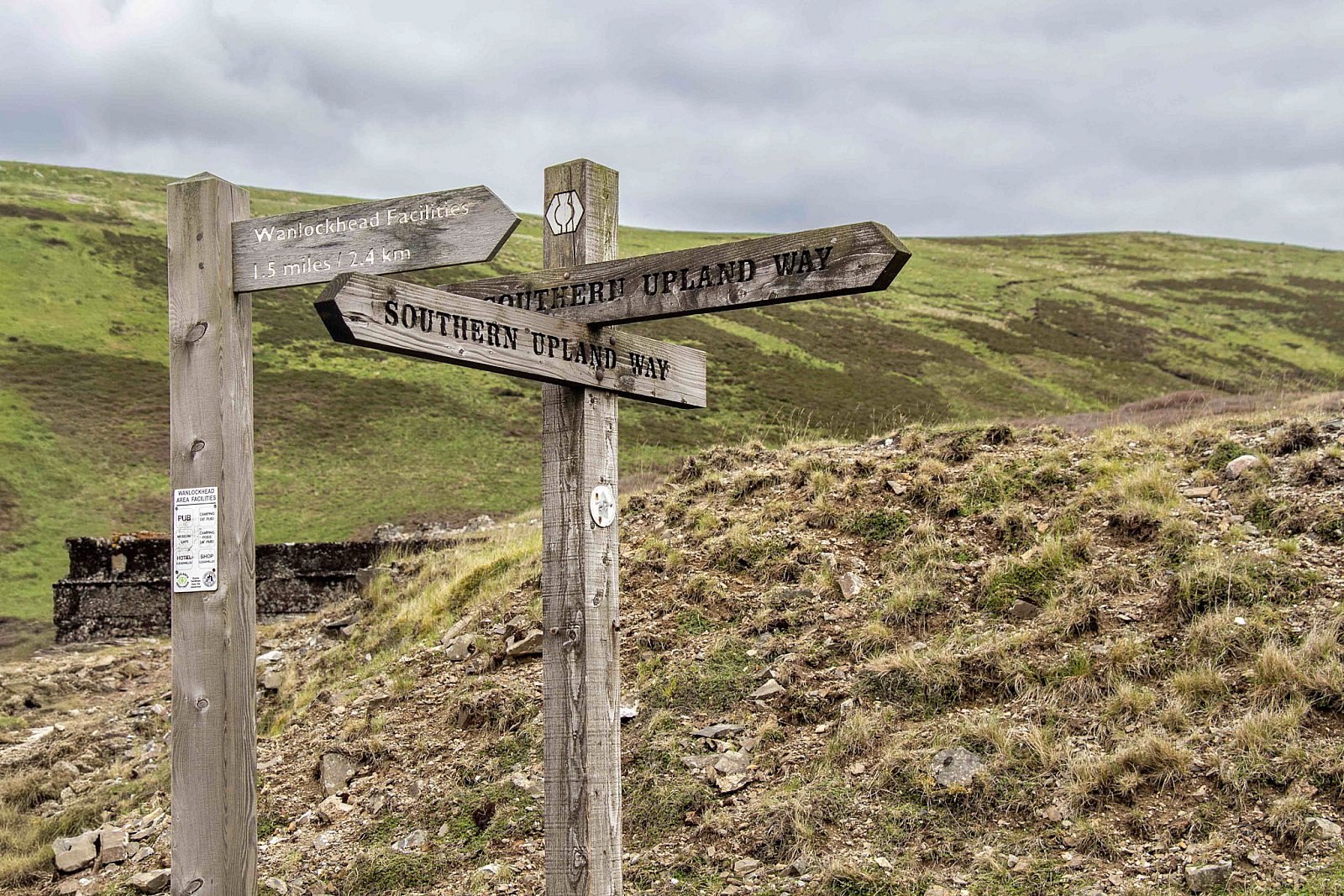
From Stood Hill, we traversed Willowgrain Hill and an unnamed hill before joining the Southern Upland Way just south of Cogshead. After we passed Cogshead, we ascended the southern slope of Lowmill Knowe, pausing for lunch along the way, until we reached the col between Highmill Knowe and Glengaber Hill, then we descended into the Wanlock Water valley. On the opposite side of the valley is the site of the former Meadowfoot ore-smelting mill. A large area of ground around the mill has been denuded of vegetation by fumes from the lead-smelting process.
The Leadhills – Wanlockhead district was an important area for mining lead–zinc orebodies and is world-famous for the secondary lead minerals found in the veins, with over 60 mineral species identified. The lead–zinc mineralisation is in intensely faulted and fractured greywackes (Muddy sandstone) and mudstones of the Ordovician (450 Ma) and occurred during the Carboniferous period about 350 million years ago. The fractures allowed movement of mineral-rich hydrothermal fluids from depth. The lead–zinc orebodies are found in more than 70 veins that run broadly north-south and are spread over a zone about 6 km wide.
The first record of mining activity in the district dates from 1239, for a lead mine at Glengonnar worked by monks from Newbattle Abbey. However, it is believed that mining may have taken place as far back as Roman times.
During the 16th century, gold was discovered and became the focus of mining activity. The gold was found in local stream gravels. Leadhills gold was used to augment the crown jewels between 1537 and 1542. By the end of the century, production declined as the richest deposits were worked out. No commercial gold extraction took place after 1620.
By the end of the 17th century, lead smelters had been constructed; however, mining and processing were on a small scale until the Industrial Revolution, when technological developments enabled expansion of mining activity. By 1920, only two mines remained, and these were closed during the economic depression of the 1930s. Between 1700 and 1958, mining produced about 400,000 tonnes of lead, 10,000 tonnes of zinc and 25 tonnes of silver.
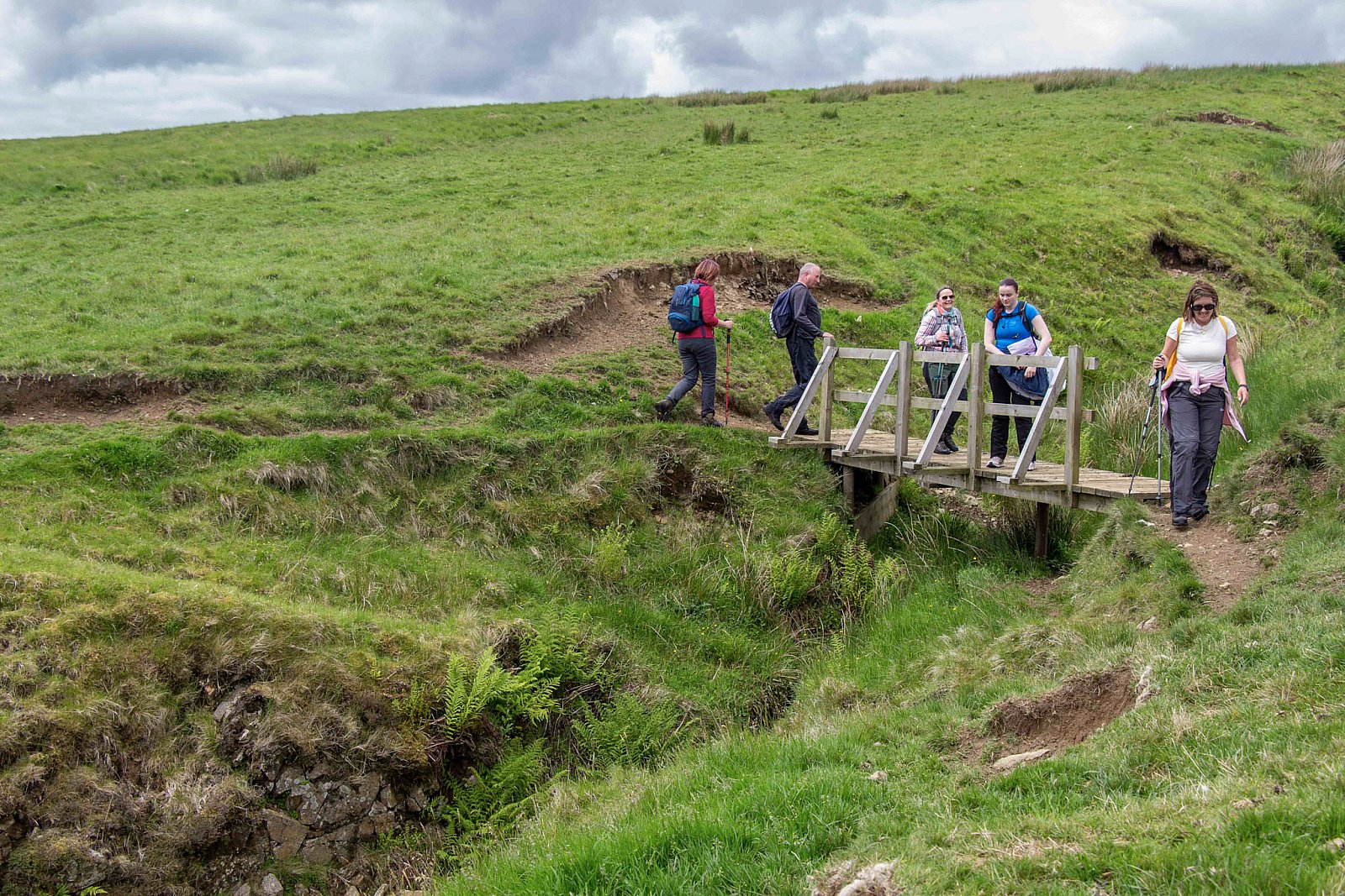
Walking up the valley to Wanlockhead, we saw some of the remains of the past mining activities. Our route took us past the ruins of Pates Knowe Smelter, the remains of Glencriff Mine, the last operational mine in Wanlockhead, the water-powered beam engine above the Straitsteps Mine, which pumped water out of nearby abandoned mines, and finally the entrance to Lochnell Mine.
Upon arrival in Wanlockhead, the temptations of the Lead Mining Museum Tea Room were too great, and we piled in for coffee, tea and cake.
TerryC
Photo credits: RY & TC