With a forecast of fine, sunny weather, eleven walkers gathered at the Visitor Centre in Mugdock Country Park. We were pleased to welcome Eddie from Glasgow Ramblers. Mugdock Wood and Dumbrock Loch Meadows are both registered as a Site of Special Scientific Interest (SSSI). The Mugdock Wood SSSI includes Mugdock Country Park, Mugdock Wood, Mugdock Loch, and Drumclog Moor.
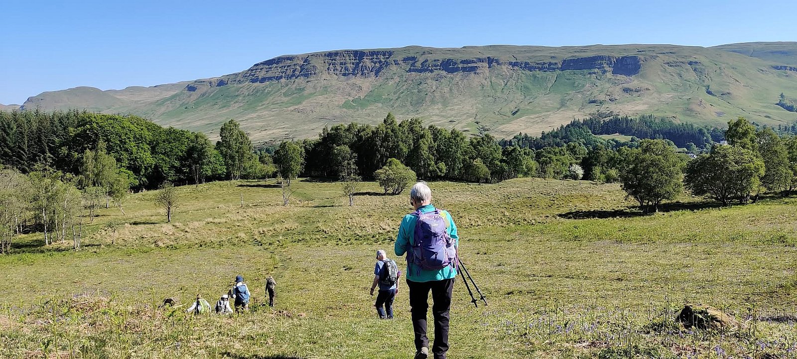
Heading north, we made our way across Dumbrock Loch Meadows and down the hillside to the Gowk Stone. Dumbrock Loch Meadows comprises one of the largest areas of unimproved, herb-rich, lowland grassland in the Stirling Council area. Habitats of this type are rare and declining. There were fine views, from the hillside, of the Strathblane Hills, which form the escarpment on the southwestern side of the Campsie Fells. The steep upper slopes of the escarpment provide extensive exposures of lava flows belonging to the Clyde Plateau Volcanic Formation (330-347 Ma) and exhibit a terraced or ‘trap’ topography, with each terrace representing an individual lava flow. The Clyde Plateau volcanism formed a volcanic field that extends from Stirling to Gourock, Bute, and Strathaven. Eruptions were from numerous small cinder cones, small shield volcanoes and fissure volcanoes.
The Gowk Stone is a large basaltic glacial erratic boulder, which sits at the side of the John Muir Way. Erratic boulders are rocks that have been transported by glacier ice and deposited in an area underlain by a different rock type. The boulder would have been carried by ice that had flowed southeastwards from the Loch Lomond area and deposited when the ice retreated. Gowk is a Scots word that means a common cuckoo but also a fool. The word derives from Old Norse ‘gaukr’, a cuckoo. In the past, the Gowk Stone was used as a boundary marker for three estates.
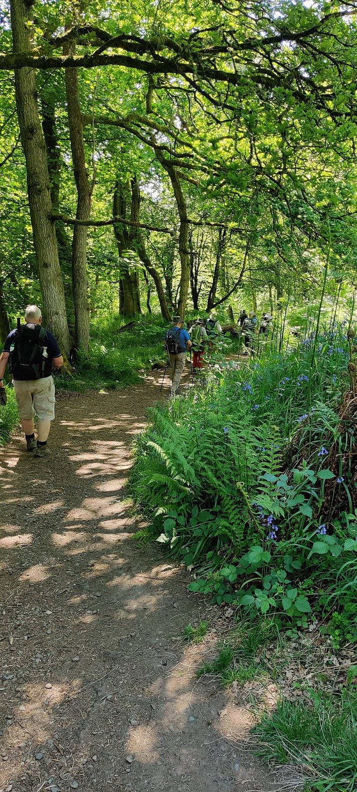
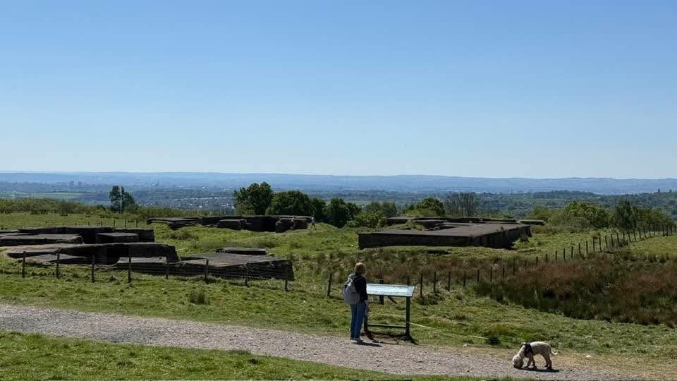
From the Gowk Stone, the group followed the John Muir Way to Boards where we turned to follow a woodland path down the side of Cuilt Brae to Braehead. We then followed tracks past Ardoch campsite and along the foot of Blair's Hill to Arlehaven where our route joined the West Highland Way (WHW) and stopped for refreshment at a prominent knoll, which provides an excellent viewpoint. It had been intended to follow the WHW to Milngavie. However, the first section provides little protection from the sun, so the decision was made to take the shady path that runs up through woodland and along the back of Loch Wood to Kyber Car Park. From there it was a short dash to the site of the World War Two anti-aircraft gun battery and a welcome break for lunch. There were fine views from the battery across Glasgow eastwards towards Tinto and the East Kilbride Hills, and westwards to the Kilpatrick Hills.
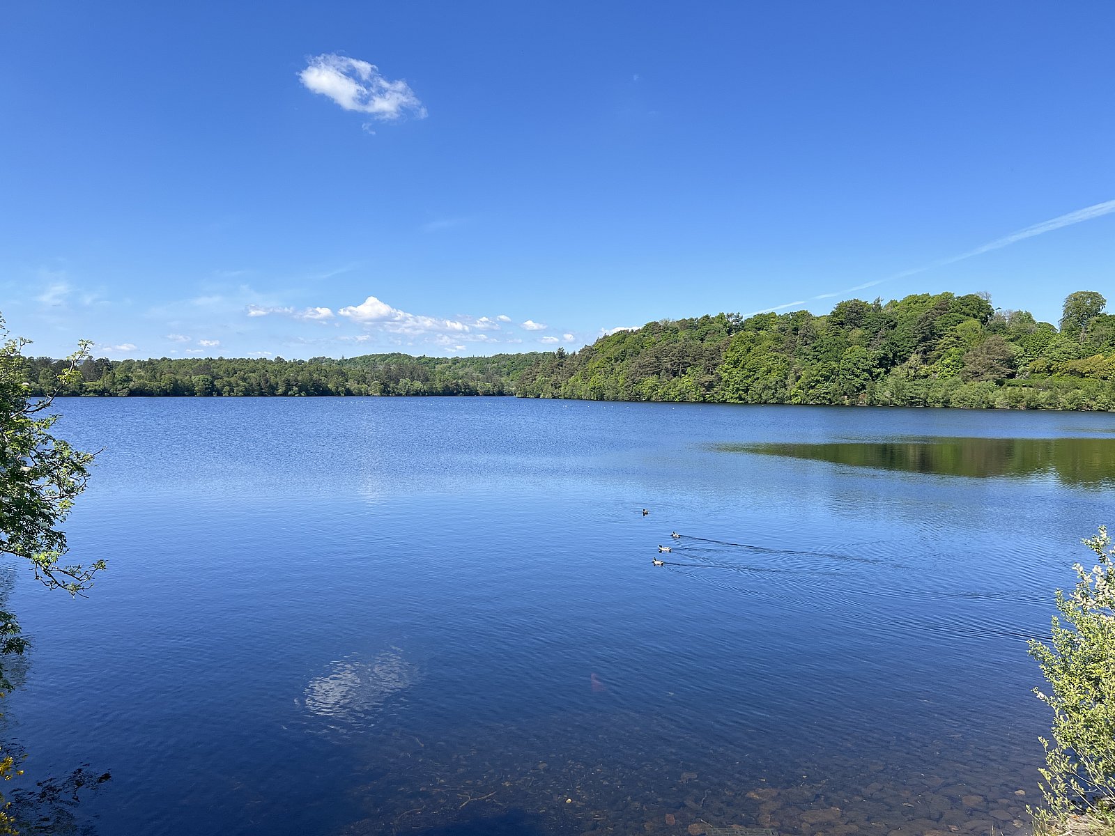
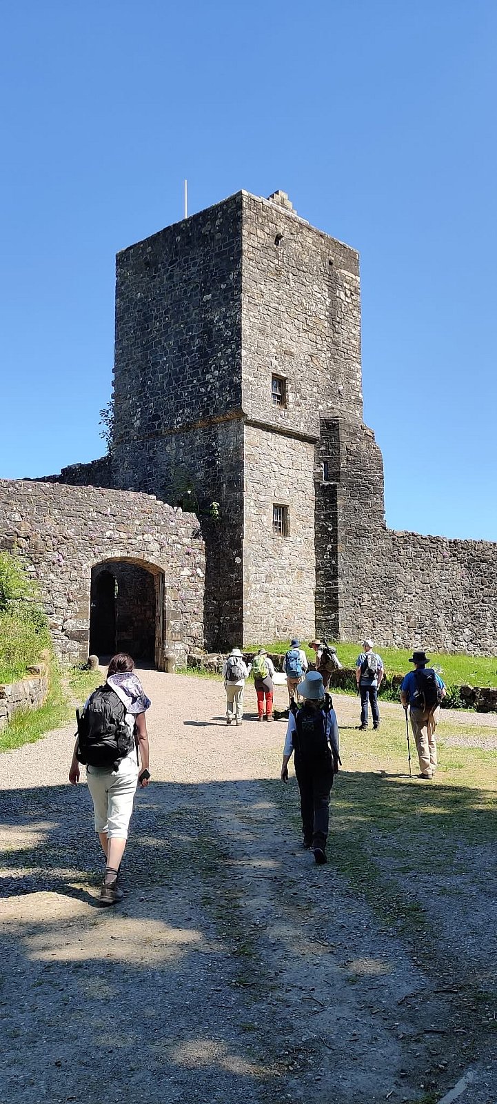
A brief stop was made to view Mugdock Castle as we made our way to Mugdock Wood. The original castle was built by the Graham family in the 14th century and extended and renovated in the 16th century. It was used both as a residence and as a defensive stronghold. The castle was subsequently abandoned in the 17th century and gradually fell into ruin. Constructed on a basalt knoll, the castle comprised four towers around a courtyard with high walls. The main gate was in the middle of the south wall. Protection to the east, north, and west was provided by Mugdock Loch, which was much greater in size in the Middle Ages than it is today. The removal in Victorian times of a ridge of rock running from east to west just south of the castle that kept the water level high caused the level to fall by two metres.
We took the path, just before the castle, that runs down through Mugdock Wood to rejoin the West Highland Way. Mugdock Wood encompasses a large area of relatively undisturbed woodland, including ancient deciduous woodland, ash/elm woodland, and on wetter soils, alder woods. The woodlands are rich in deadwood, which supports several rare invertebrates, notably beetles. We passed from Mugdock Wood into a sparsely wooded area known as Drumclog Moor, which was formerly wooded but used for farming through the Second World War and into the 1950s. From Drumclog there was a short walk through a residential area of Milngavie to the Mugdock and Craigmaddie reservoirs.
Mugdock Reservoir was built as part of the Victorian Loch Katrine water project to supply Glasgow with clean water. Construction commenced in 1855, and the reservoir was opened by Queen Victoria in 1859. The reservoir is fed with water from Loch Katrine via a 26-mile pipeline. The Craigmaddie Reservoir was built and opened in 1896 to cater for increased demand. For those interested, further information about the Milngavie reservoirs can be found here:
https://www.ice.org.uk/media/if1bpc5u/milngavie-reservoirs-civil-engineering-trail.pdf
https://strathardheritage.org/archive/glasgows-water-supply/
After a short refreshment break at the reservoirs, we headed back to Mugdock Country Park, following a pleasant path through woodland along the northern side of Mugdock Reservoir. Back in the country park, we took woodland paths and tracks to Mugdock Loch, notable for a large population of the rare Least Yellow water lily. From the loch, we returned along paths through meadows and woodlands to the Visitor Centre. On the way, we passed Moot Hill and Gallow Hill. Moot Hill is believed to have been a place of judgement in the Dark Ages and Medieval Period, where sentencing was carried out. If the accused were found guilty, they were taken to Gallow Hill, where men would be strangled or hung on the gallows and women drowned in a pond at the foot of the gallows. Moot Hill, once an island in Murdock Loch, is also believed to have been the site of two crannogs, one dating from the Bronze Age and the other from the Iron Age.
The nearby ruins of Craigend Castle are located on the southern side of Gallow Hill and were built in 1816 in the Regency Gothic style. Stables were also built at the same date as the castle, and these survive as the Country Park’s Visitor Centre. A zoo was established in 1949 on the Craigend Estate, mainly around Gallow Hill. Sadly, the venture was unsuccessful, and the zoo closed in 1955. The stables and zoo grounds became part of Mugdock Country Park, but the ‘castle’ has since become a ruin.
To cap off a thoroughly enjoyable walk, we had coffee and ice creams at the Visitor Centre.
Terry C
Photo Credits: Ina G, Sheila W and Terry C