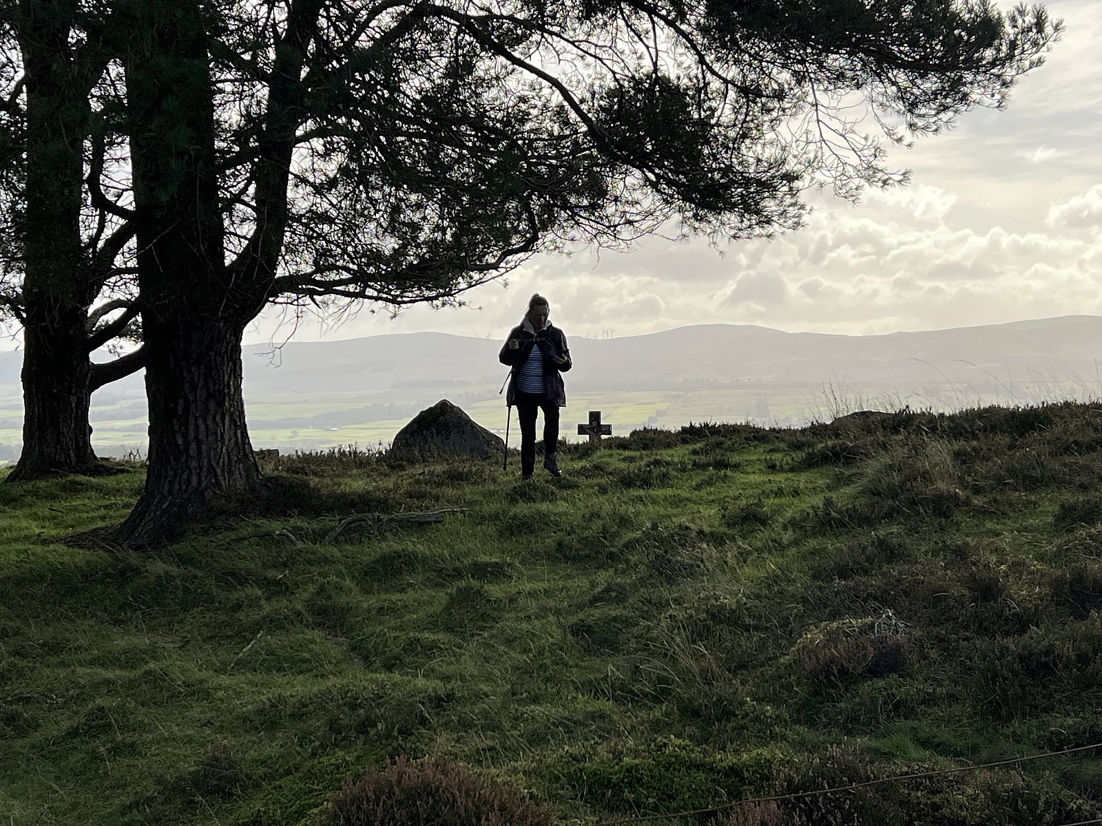
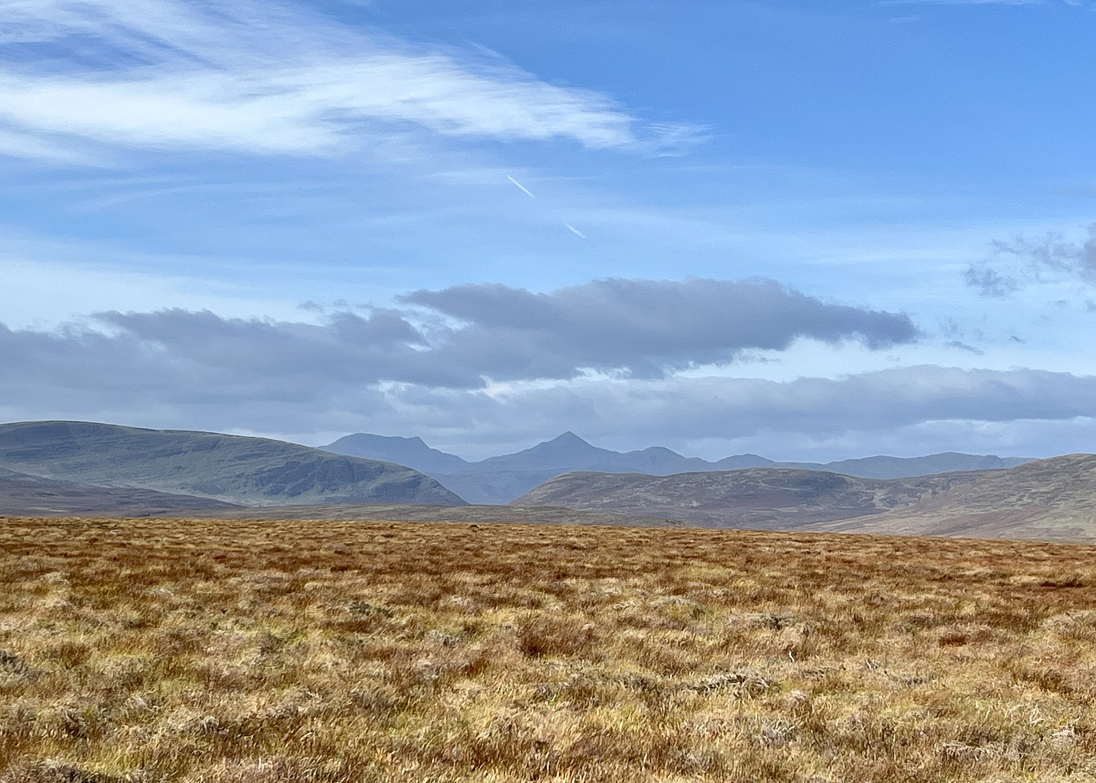
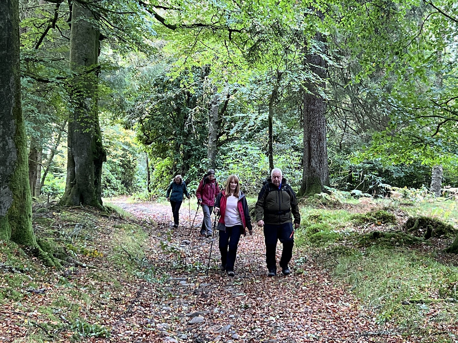
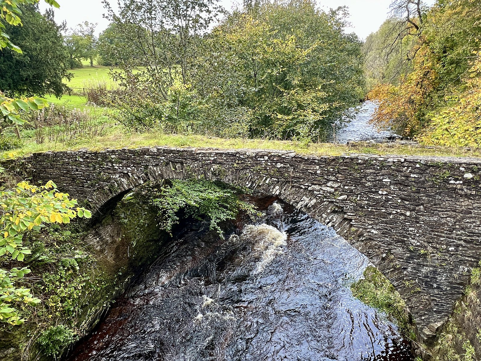
A bright, sunny Sunday morning greeted the nine walkers who gathered at Braco for our hike out to Cromlet Hill (407 m). We walked down to the Bridge of Keir and then followed the path that heads up through the delightful, narrow, incised valley down which the Keir Burn flows. The water levels were well up due to the recent passage of Storm Amy. Just past Nether Braco, we scrambled up the steep valley side to join a track that followed the valley crest for a kilometre or so before starting to climb gradually towards Cromlet Hill. At Blairmore, we stopped for a break and were rewarded with the sight of three red kites. Just beyond Blairmore, we headed northeast, stopping to explore a small Graveyard that has superb views southwards towards the Ochil Hills. Leaving the Graveyard, we negotiated a fence and then crossed some heathery moorland before joining a track that would take us close to the summit of Cromlet Hill. As we gained height, the views to the north and west opened up to give a great panorama encompassing Stuc a’ Chroin and Ben Vorlich to the west, the Lawers Range to the north, and Ben Chonzie to the east. Ben Clach dominated the middle distance.
The area is endowed with glacifluvial landforms, many of which are a legacy of the melting, thinning and retreat of the last Scottish Ice Sheet. Several channels that traverse the southern and eastern slopes of Cromlet Hill were cut by meltwater at ice margins. The incised section of the Keir Burn that we walked up was also cut by meltwater. In the valley of the River Knaik, on the north side of Cromlet Hill, there are eskers, which are sinuous ridges formed of sand and gravel deposited by meltwater streams beneath or within a glacier. The track crosses several meltwater channels, and one esker could be seen; however, these features are best appreciated from the Braco to Comrie road on the north side of the valley.
The summit of Cromlet Hill is a broad, gentle dome, and the highest point is some distance from the trig point. To reach the trig point and summit, we left the track and tramped across the heather.
With a lunch stop beckoning, we made a brisk descent of Cromlet Hill and took the track leading to Duns Wood and Braco Castle. By now the breeze had strengthened, and grey clouds had started gathering in the west. We managed to find a sheltered spot beneath an old Scots pine and stopped for lunch. After lunch, we continued through the woods and the grounds of Braco Castle and then a track alongside the River Knaick down to Pack Horse Bridge and the impressive remains of the Ardnoch Roman military complex. The grounds around Braco Castle have been landscaped, and the gardens are sometimes open to the public through Scotland’s Gardens Scheme.
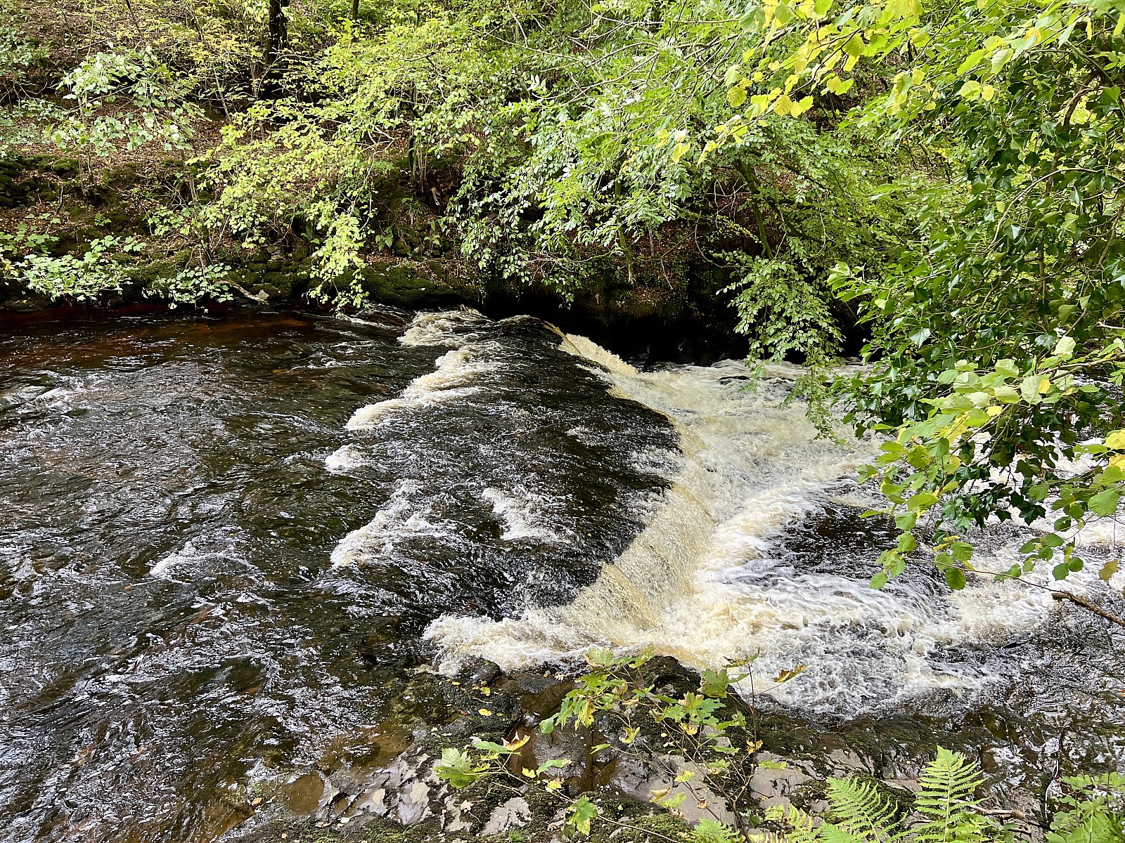
The track running alongside the River Knaick down to Braco is picturesque, with several waterfalls and pools along this stretch of the river. The waterfalls were impressive after the recent rain, and some of the group even managed to see fish attempting to jump one of the waterfalls.
The Ardoch Fort Complex is the best-preserved example of a Roman Fort in Scotland, with the earliest phase dating back to the first century. The fort forms part of a line of fortifications and watchtowers that runs from Camelon to Bertha, just upstream of Perth and is known as The Roman Gask system. The system runs along the Gask Ridge on the northern side of Strathearn for much of its length, and is the earliest known fortified frontier of the Roman Empire. The fort comprises approximately two hectares enclosed by a ditch and rampart system. The eastern and northern sides of the fort have the best preserved parts of the fort's defensive earthworks, with five ditches up to two metres in height surviving.
After walking around the site of the fort and returning to the cars, we strolled up to the nearby coffee shop for coffee before returning to Livingston.
TerryC